You've likely heard the pitch: invest in downtown, and economic vitality will follow. The data supports this when local...
Tags: Blog, Civic Engagement, Zoning, Citizen Enaggement, Permitting

Why can't we build enough affordable housing? Part of the answer lies in outdated zoning codes and permitting rules that no...
Tags: Blog, Zoning, Permitting, Land Use, Climate resilience

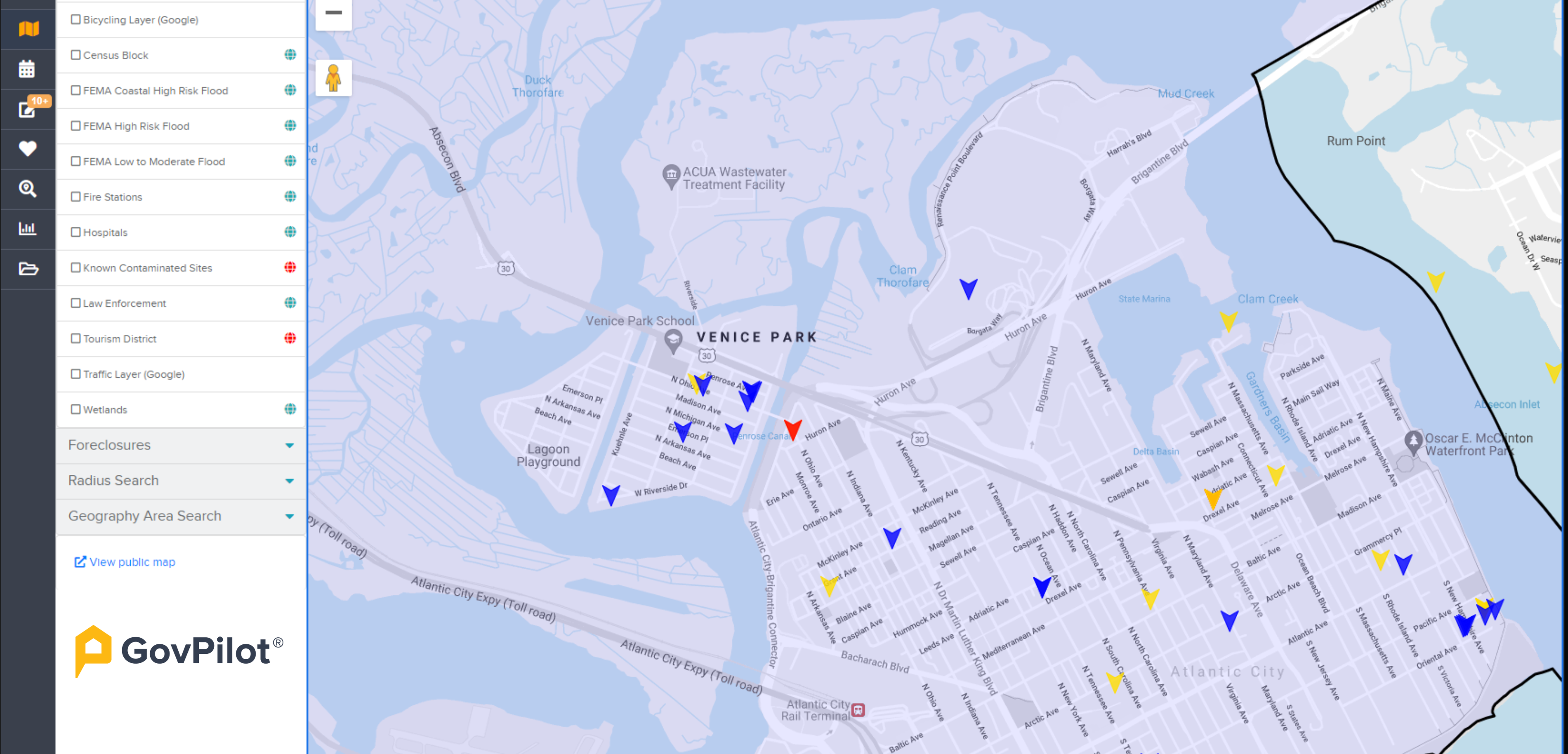
Flood insurance premiums are rising nationwide as FEMA's Risk Rating 2.0 seeks to tie costs to property-level risk. Communities...
Tags: Digital Transformation, Blog, Disaster Recovery, Zoning, Construction, FEMA

If you've ever watched water creep toward your property during a storm, you know the sinking feeling it can bring. Flooding is...
Tags: Digital Transformation, Blog, Disaster Recovery, Zoning, Construction, FEMA

Tags: Constituent Experience, Digital Transformation, Public Works, DPW, Building, Zoning
Key Features & Apps


