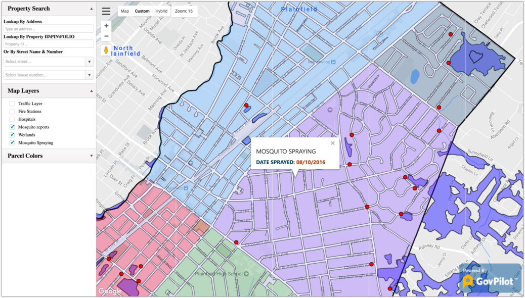
Time travel. Flying cars. 2018 may not have brought us all of the innovations science fiction writers predicted it would, but modern technology has dramantically evened the playing field. There are full-length feature films recorded on iPhones, teenagers giving medical advice on Instagram (much to doctors’ chagrin) and many other technology-enabled trends eroding the line between amateur and expert. GovPilot is proud to lead the pack, with our very accessible geographic information system (GIS) map.
 iWrite and iDirect.
Tracking GIS from the Military to the Municipality
In the 1960s, Cold War concerns led to the United States military building the first global positioning system (GPS). The technology remained an exclusively military tool until a 1990s decision made GPS available to the public. In 1996, MapQuest emerged as the leading provider of GPS map-based driving directions. Drivers could research a location, print directions and use the personalized map to reach their destination.
MapQuest enjoyed five years as the premier commercial cartography service before Google Maps made its 2011 debut.Google Maps improved upon MapQuest’s cartographer-for-commuter business model, providing users with street-level views of destinations as well as public transportation data.
The advanced mapping technology went from being leveraged by military personnel to being a staple of civilian life. Then, GovPilot brought it into city hall.
Great Responsibility Requires Great Insight
Great responsibility requires great insight. That’s why we built our Google Maps-based geographic information system (GIS) to visualize layers of weather and traffic information aggregated from public domains and offered it to municipal and county officials with each one of our 100+ modules.
Boasting color-coded, custom layers and an intuitive user interface, GovPilot’s GIS map empowers government officials to harness expert-level insights, without the GIS expertise. Clients use our map to prioritize projects, prepare for emergencies and publicize progress to constituents—all of which contribute to efficient, cost-effective operations and less frequent, more prouductive interactions with residents.

Our GIS map integrates with over 100 GovPilot modules.
In 2018, expertise is within your reach. Allow GovPilot to hand it to you.


