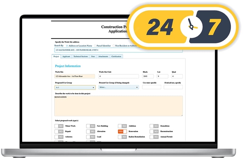
24/7 Access to Comprehensive Digital Forms
GovPilot offers end-to-end digital forms for all of your Clerks’ departmental workflows. Available 24/7 on your government’s website for residents to complete, form fields accurately capture all relevant details, required information, and payment information directly from your constituents prior to submission. No manual data entry necessary on the back end and no more follow-up from staff required.
GovPilot’s templated modules represent the gold standard in government management processes and enable municipal and county Clerk Departments to seamlessly manage everything from Open Records Requests (OPRA/FOIA) to Business Registrations, Pet Licenses to Volunteer Registration, Filming Licenses to No-Knock Permits, and more.
GovPilot's cloud-based platform is accessible by government officials and employees at any time from anywhere - whether in the office or remote. Complete tasks, process requests, and respond to constituents no matter the circumstance, location or time.

Efficient, Transparent Processing
Eliminate the need to re-enter data or transpose handwritten information into a single-use software system or spreadsheet. With GovPilot, the resident applicant does all the work for you when they fill their form out digitally from the comfort and convenience of their home.
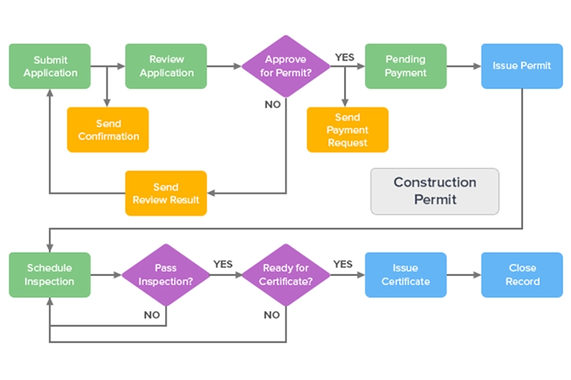
Upon submission, form data speeds through the appropriate sequence and order of operations along an automated workflow that triggers updates to applicants and relevant staff at key steps in the process, keeping everyone informed.
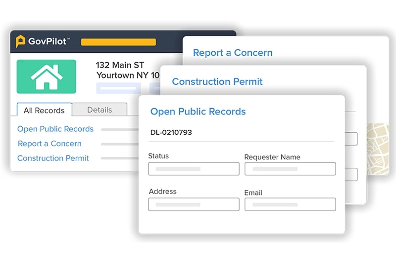
Employees can look up records in just a click and immediately understand its status - when it was submitted, what phase it is in, which colleague is assigned to it, and when it was completed. Even team members from other departments can look up records, eliminating the need to respond to distracting requests via phone, email or in person.

Significant Time Savings
Eliminate the need to store and search paper files. Generate formatted reports and mail merge lists with just a click! Digital records are easily processed, tracked, filtered, and searched, saving hours previously spent on time consuming, manual tasks. Records from all departments are digitally anchored at the parcel-level, giving any employee an instant view of all historical and current records, applications, and certificates associated with individual properties.
With GovPilot, you can dedicate significant time savings each day to other important tasks and initiatives while providing your constituents with the digital convenience and transparency they expect.
The level of service is by bar far the best customer support I've ever received.
Prior to GovPilot, employees had to search for paper records filed in the basement and relay that information to a colleague or resident. Now, digital records are accessible in seconds by city employees, from any device at any time.
GovPilot eliminates the complexity of our old manual process and puts everything at our fingertips. Work that used to take days, now takes minutes.
Employees now take less than two minutes to enter information and instantly update the system rather than manually entering handwritten notes into Excel.
There is a night and day difference with GovPilot. It has more than paid for itself through Report-a-Concern and the easy collection of fines.
Processing paper renewals previously took 15 minutes per paper application. Multiplied by 2,300 properties is 24 days worth of time saved with GovPilot!
With GovPilot, our biggest time savings is in report creation. We don't need to search archives for paper files anymore.
Instead of searching for minutes or hours for files in physical archives, employees search a digital record in seconds and print if needed.
The GovInspect app is really saving us time. The ability to send violations and certifications via email is the best feature.
With GovInspect, each of the city's ten inspectors save 10 hours per week, no-longer having to manually re-enter paperwork. That’s 100 hours weekly for the entire department.
GovPilot's ease of use and being cloud-based means I can access it from anywhere at any time. Overall GovPilot provides a great experience.
Reports to the council are generated quickly by changing date ranges and exporting in mere clicks instead of a manual spreadsheet.
With GovPilot, we solved internal communications issues we previously had with our engineering staff.
By uploading and sharing plans via GovPilot instead of passing paper plans physically, the planning process was shortened by two weeks.
Eastampton,
New Jersey
Watauga,
Texas
Big Bear Lake,
California
Millsboro,
Delaware
Trenton,
New Jersey
Columbine Valley,
Colorado
Hudson County,
New Jersey
Government Trends & Insights
Get the latest GovPilot news, updates, and announcements from our blog.
Trusted By Forward-Thinking Governments
"The level of service is by bar far the best customer support I've ever received."

"A huge improvement and time saver for residents and clerks"

"Very user-friendly. No trouble submitting or processing forms."


