
Public Asset Management: How GIS Helps Local Governments Do More With Less
Your public works director knows exactly which water main broke last week. What he can't tell you is which other mains in that neighborhood are the same age, installed by the same contractor, and likely to fail next.
Your streets superintendent has a list of roads that need repaving. What she doesn't have is a view showing that three of those streets sit directly above water lines scheduled for replacement, meaning you're about to pay twice to tear up the same pavement.
This is the hidden cost of managing public assets in systems that weren't designed for infrastructure: you can track what you own, but you can't see how it connects.
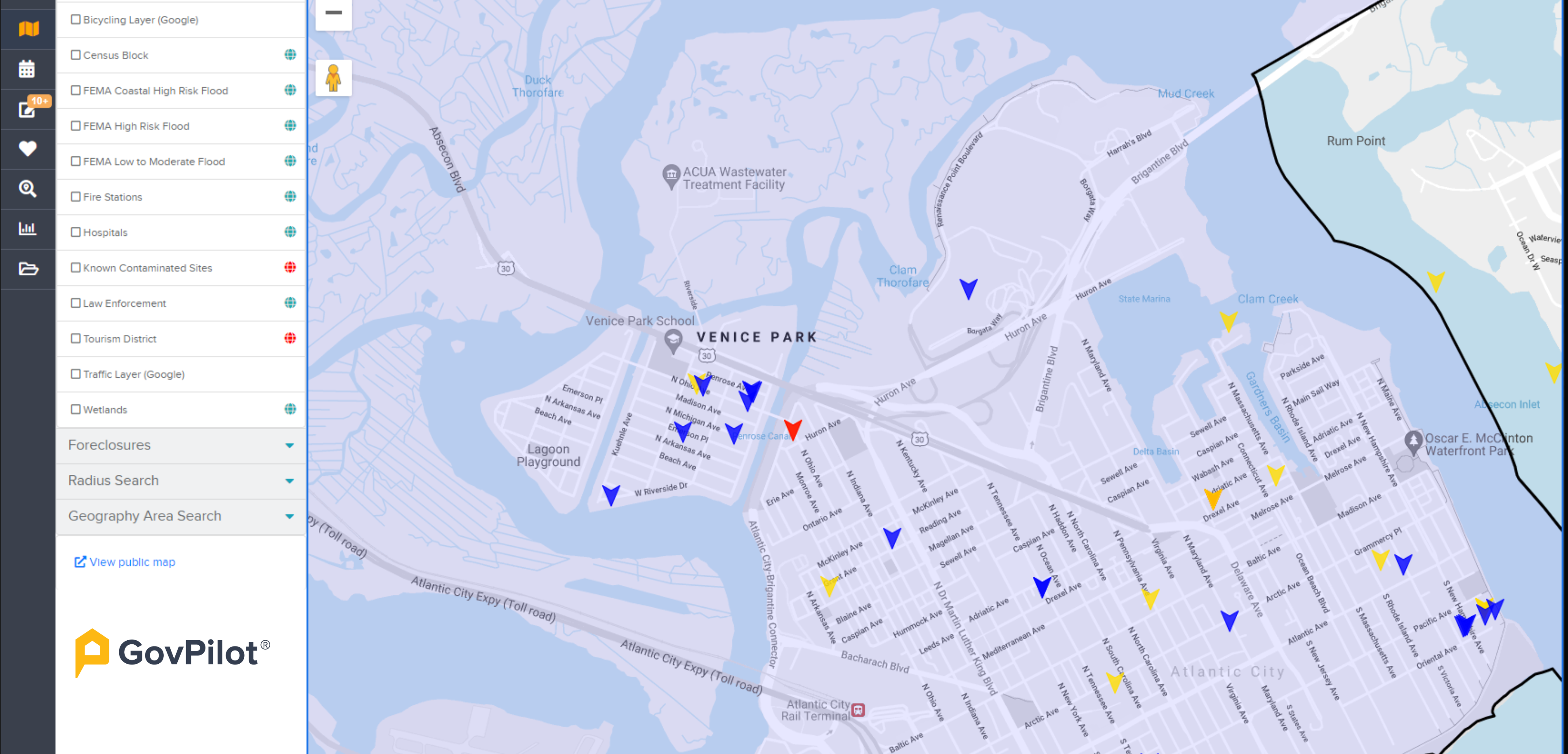
Visualizing Spatial Data Limits Blind Spots
Most local governments have asset records. The problem is that roads, water mains, facilities, and equipment exist in physical space, but legacy management systems treat them like accounting line items.
A work order system can tell you that Storm Drain #3847 needs cleaning. But it doesn't show you that it's upstream from the elementary school that floods every spring, or that it's on the same street where you're already doing sidewalk work next month.
Those connections only become visible when you stop managing assets as lists and start managing them on a map.
What Changes When Assets Have Location
Patterns you couldn't see before become obvious. Street failures cluster around neighborhoods with aging water infrastructure. Streetlight outages follow electrical circuits. Park maintenance requests concentrate in areas without recent capital investment. When assets appear on a map instead of a spreadsheet, these patterns emerge instantly—and suddenly you're preventing problems instead of reacting to them.
Coordination that used to require meetings happens automatically. When your planning department pulls up a parcel, they see utility lines, road conditions, and facility locations on the same screen. When public works schedules a project, they can see which other departments have assets in the same area. The question shifts from "who do I need to call?" to "what else should we fix while we're there?"
Field crews stop wasting time. A technician gets a work order for a fire hydrant inspection. Instead of deciphering an address and hunting for the asset, they tap the map and get turn-by-turn directions to the exact location. They photograph the hydrant, update its condition rating, and mark the GPS coordinates: no data entry back at the office, no wondering if the crew found the right asset.
Capital planning becomes strategic instead of political. You're not just replacing the oldest assets or responding to the loudest complaints. You're coordinating projects: repaving streets while replacing underground utilities, upgrading lighting during sidewalk reconstruction, timing facility repairs around school schedules. Each dollar works harder because you can see how projects overlap in space and time.
The Difference Between Data and Intelligence
Traditional asset management systems answer "what needs attention?" A spatial system answers "what needs attention, where is it, what else is nearby, who's affected, and how should we sequence the work?"
That difference—between information and spatial intelligence—is what separates governments that manage infrastructure from governments that optimize it.
When a water main breaks, you don't just need to know the asset ID and installation date. You need to know which homes lose service, which roads get closed, which businesses are impacted, where your crews are, and which valves to shut. Every second of delay costs money and erodes public trust. Spatial systems answer all those questions at once.
Why This Matters Now
Infrastructure is aging faster than municipal budgets can easily grow. Deferred maintenance is compounding. Staff with institutional knowledge are retiring. Taxpayers want transparency about where their money goes.
You can't afford to manage assets the way you did twenty years ago, reactively, departmentally, or with incomplete information and no way to see patterns until they become problems.
The local governments that are getting ahead of this are spending smarter by making spatial intelligence the foundation of how they operate.
Start With What You Already Do
The most effective software implementations don't rip out existing workflows; they make existing work spatially aware. Permit reviews, inspection routes, work order dispatch, service requests, and capital planning all become more efficient when they happen on a map instead of in disconnected systems.
GovPilot embeds spatial capabilities into the daily operations local governments already perform, turning routine tasks into opportunities to build better asset intelligence. When your staff are already in the system processing permits and managing work orders, asset data stays current without additional effort.
So, the question isn't whether you need spatial asset management. You're already managing assets spatially with crews navigating to physical locations and infrastructure following geographic patterns. The question is whether your management systems reflect that reality.
Ready to see what your asset data looks like when location becomes the organizing principle? Request a demo to see how spatial intelligence transforms infrastructure management from reactive to strategic.
%E2%80%9D-6.png)